A map is a diagram or graph designed to show the locations of things as they lay on the landscape, such as where forests or villages are located. They are normally used as a guide to get from one location to another with or without the aid of a compass.
In the world of One Piece, maps are an essential tool for navigation, as they often depict the geography of an individual island, a group of islands or even an entire ocean (in which case, they are sometimes referred as sea charts).[2] In sailing, it is usually the duty of navigators to read and interpret maps during voyages, in order to establish safe navigation routes and avoid natural hazards or getting lost.
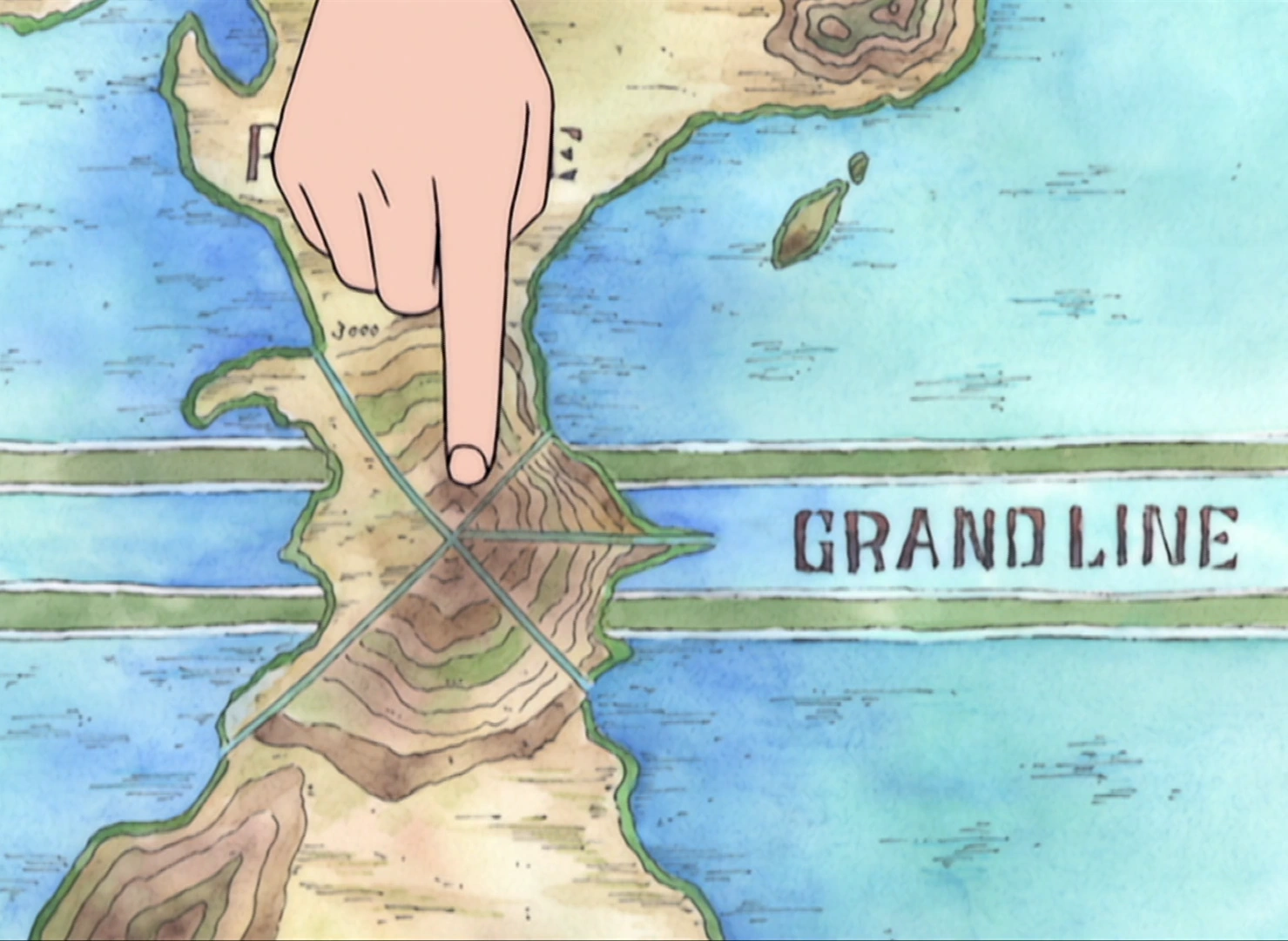
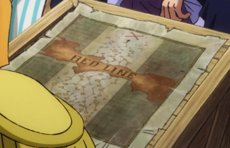
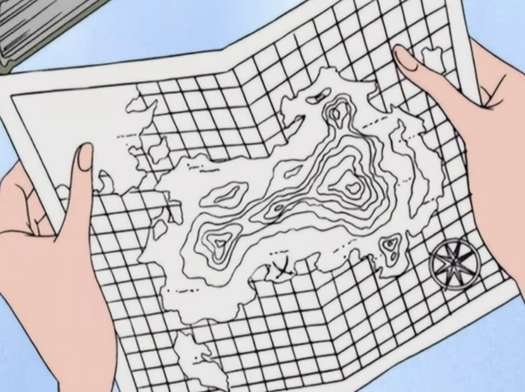
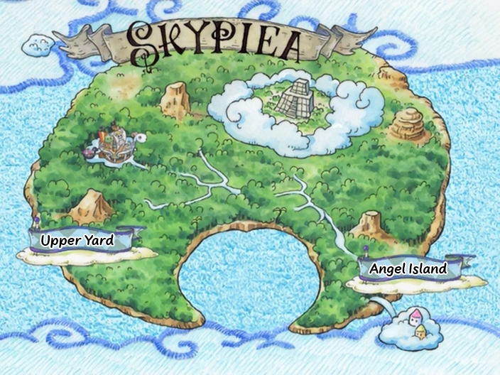
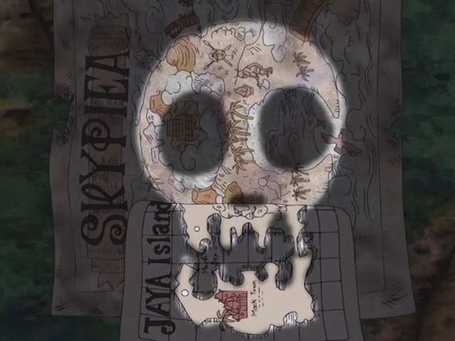
The first relevant map shown in the series was one of the Grand Line, which belonged to Buggy, but was stolen by Nami and subsequently used by the Straw Hat Pirates to enter the Grand Line through Reverse Mountain.[1][3] Another important map was of Skypiea's, which Luffy managed to find in the old remains of the St. Briss and allowed the Straw Hats to consider the idea of Sky Islands.[4]
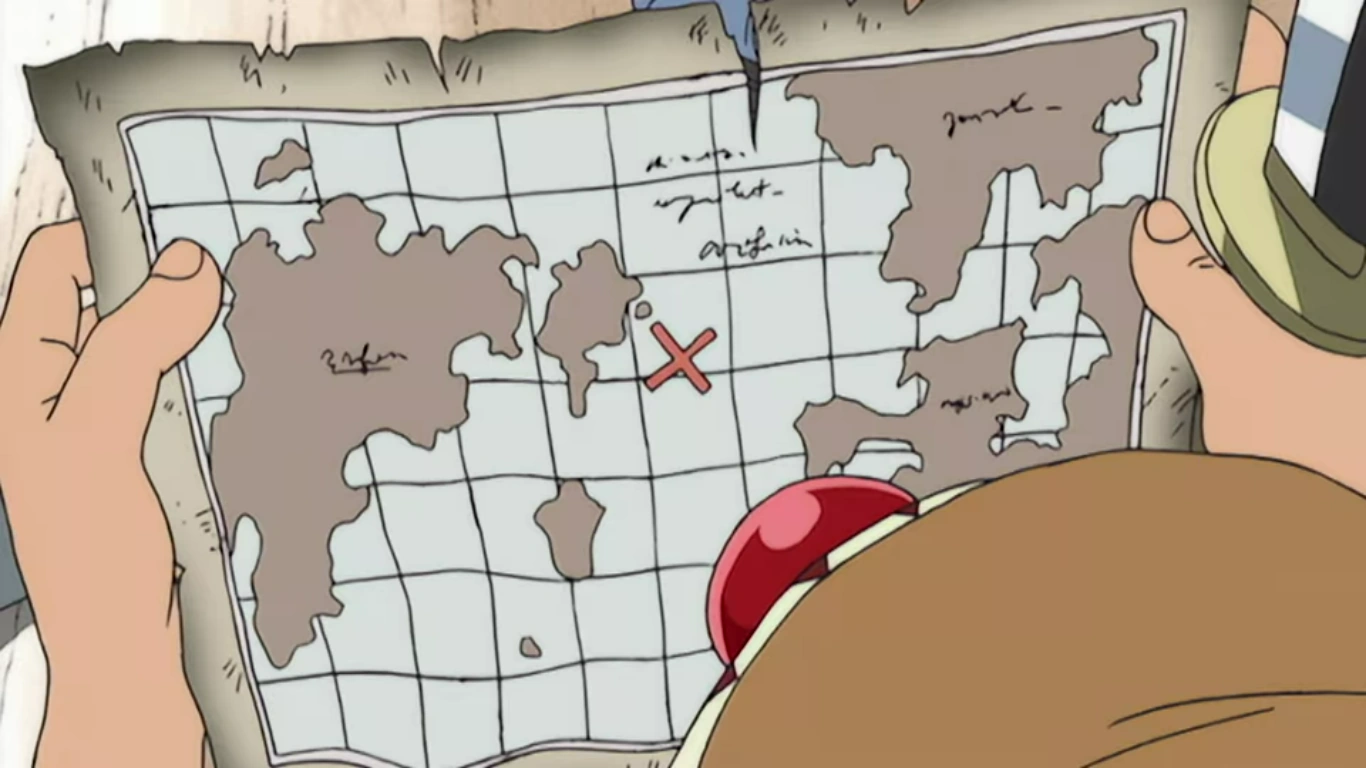
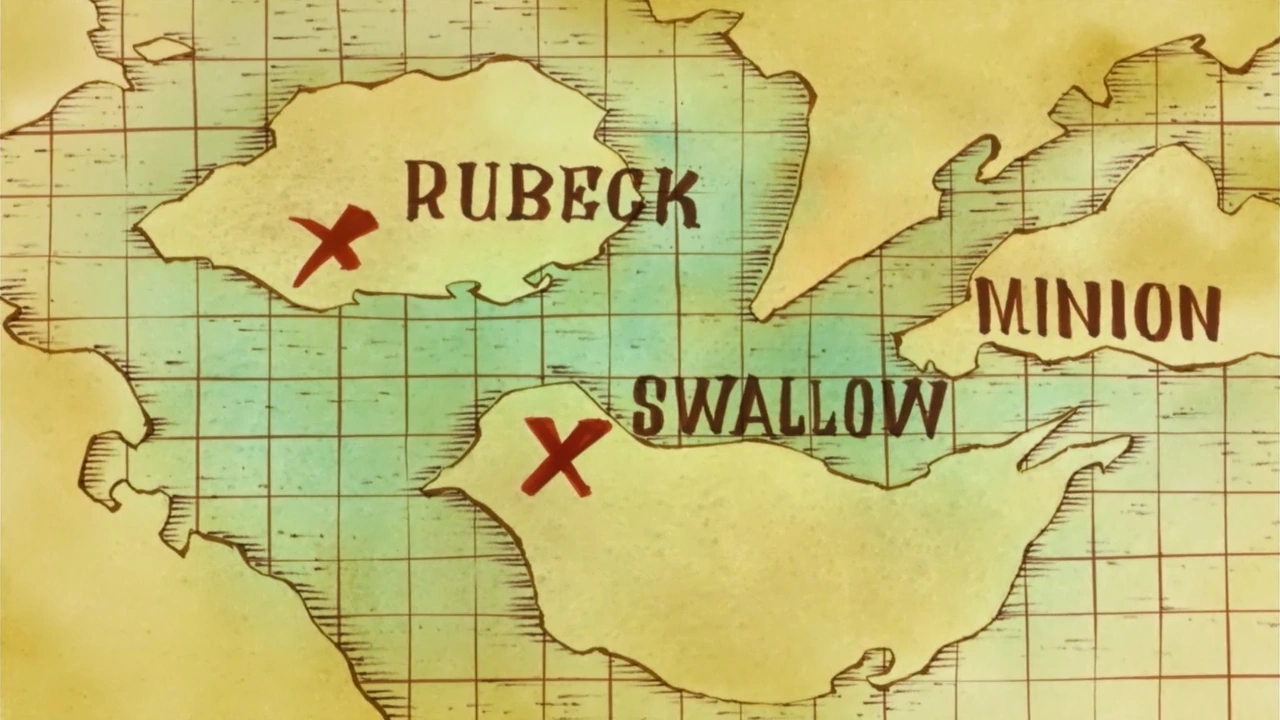
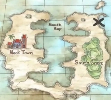
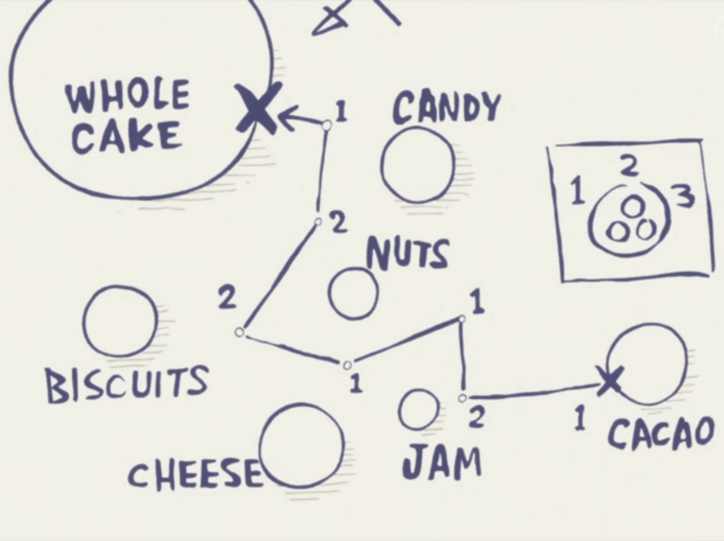
Moreover, certain maps are utilized to keep track of a hidden treasure hoard, in which case they may display a "X" mark to specify the exact location of said hoard. Buggy found one of those during a raid in his Pirate Apprentice days and planned to use it to become rich, but he ended up losing the map by accident shortly after eating the Bara Bara no Mi.
Despite the fact that most islands seem to have detailed maps of their own, a full map of the world still seemingly does not exist yet (due to the Roger Pirates being the only known group to have successfully circumnavigated the globe). It is Nami's dream to draw such a map, after sailing through all of the world's seas.[5]
Cartography
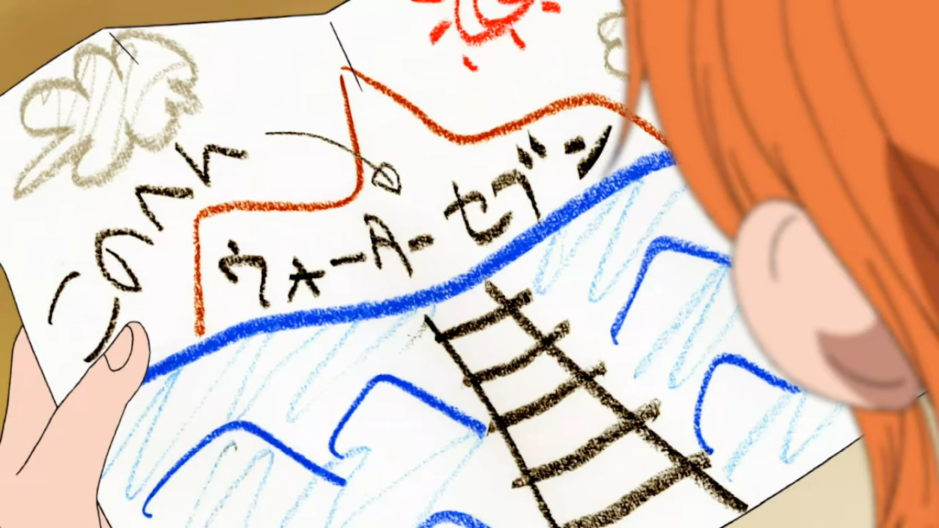
Cartography refers to the art and practice of making maps. This ability is highly valuable, especially among certain groups like the Arlong Pirates; Nami was kept as their subordinate for years because, as stated by Arlong himself, his crew lacked a good cartographer to adapt his crew's oceanic data into paper and he needed accurate maps in order to conquer the East Blue and the other three Blue Seas.[6] While navigators with poor cartography skills may still be capable of drawing maps, the results will often be barely comprehensible and serve as nothing more than general orientation.[7]
Furthermore, having a cartographer is essential to reach the final island of the Grand Line, Laugh Tale, since in order to do so, it is necessary to draw sea charts containing the coordinates described in the four Road Poneglyphs and find the point where they all intersect with each other.[8]
Being a navigator is also not a pre-requisite for one to be able to draw maps. Marco, for example, had an interest in drawing sea charts during his childhood.[9]Vivi, Pudding and Kikunojo have also shown themselves to be capable of drawing rough maps of their homelands.
The following maps are known to exist within the series or in supplementary material, either as a physical object or part of a character's visual memory.
General
The Grand Line map the Straw Hats stole from Buggy.
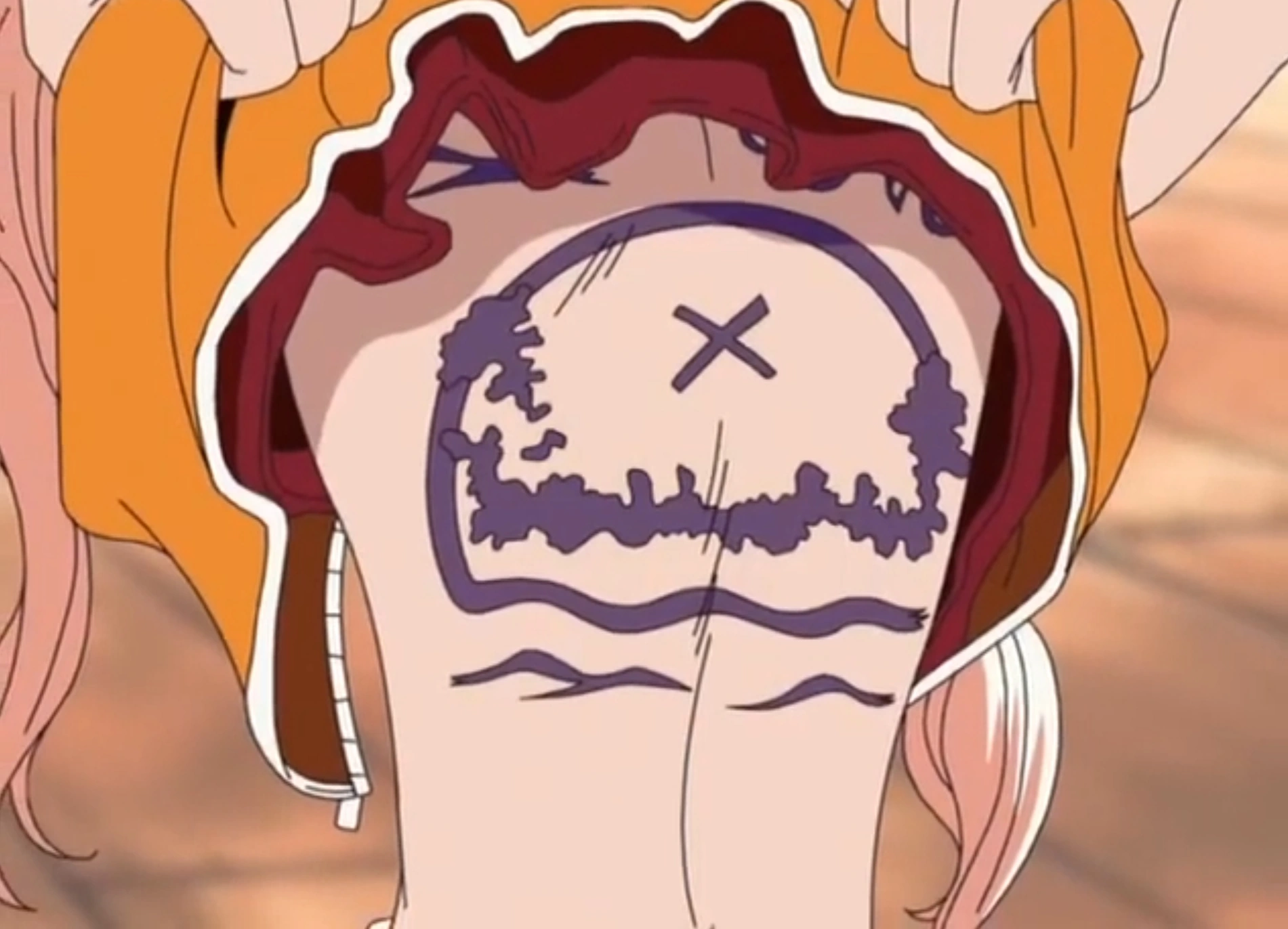
The armband that Luffy obtained after the events of Thriller Bark and then handed over to Buggy at Impel Down supposedly acts like a map to John's legendary treasure hoard, but the specific mechanics behind that are still unknown.
When the Five Elders executed a field test of the Mother Flame on Lulusia Kingdom, Imu crossed said location off a map with a brush, implying that the World Government has the power to alter maps in order to suit their narratives.[10] This is later confirmed during a flashback of Robin's childhood, which has her finding a map with Ohara erased from it.
In the Elbaph Arc, Nami briefly utilizes the blueprints of a massive diorama as an improvised map.